©Giovanni Egidi @giovanniegidi
16 août 2026
Description
Toujours en quête de fraîcheur, nous continuons notre découverte du canton de Vaud côté jura en prenant la direction de Vallorbe pour ce mois d’août.
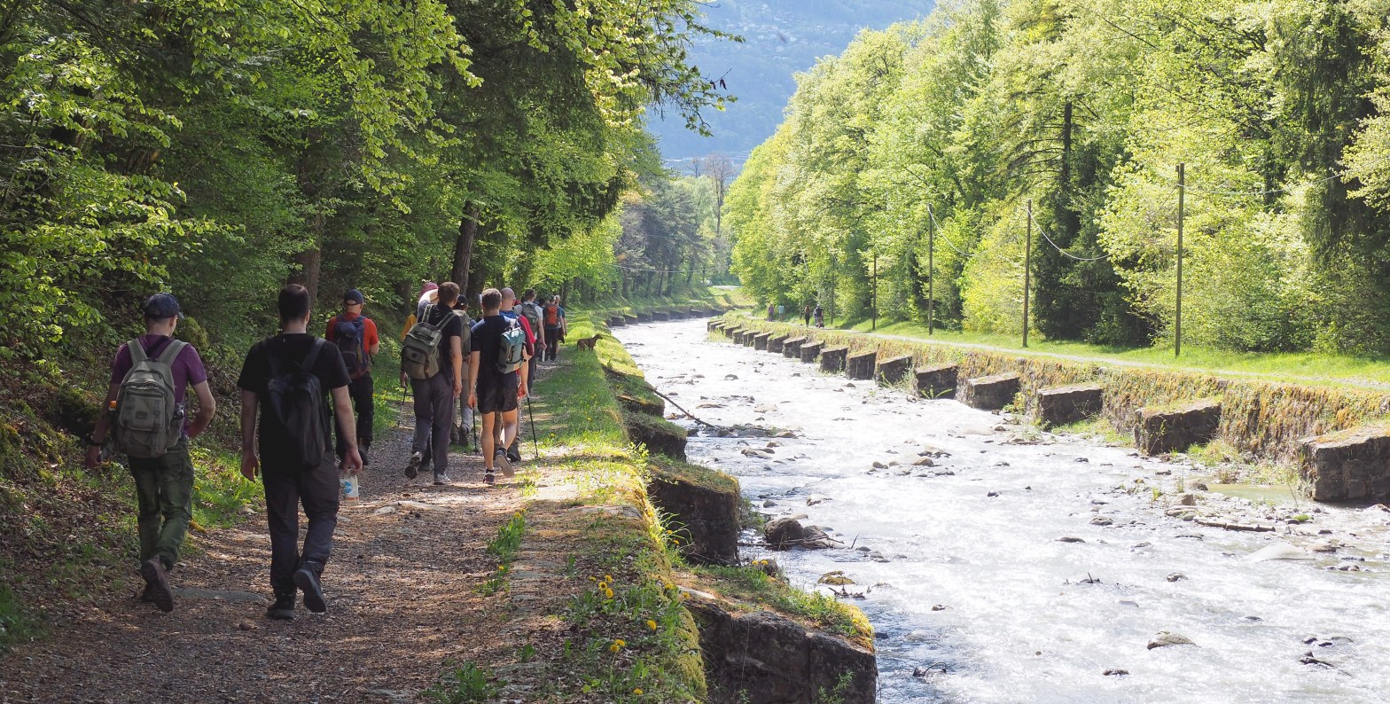
Cette boucle d’une petite vingtaine de kilomètres nous fera découvrir la vallé de la Jougnena. Ce petit cours d’eau Franco-Suisse prend sa source dans le canton de Vaud du côté des Aiguilles de Baulme. Après un petit saut en France, ce cours d’eau reviendra en Suisse pour se jeter dans l’Orbe.
Comme vous l’aurez compris nous ne serons pas loin de la France et selon Suisse Mobile, nous pourrons aussi nous documenter sur la région car plusieurs panneaux jalonnent le chemin pour nous permettre de nous cultiver (https://schweizmobil.ch/fr/suisse-a-pied/itineraire-135)
L’après-midi nous longerons le lac du Day et après avoir pu admirer le « Saut du Day », un petit rafraichissement dans le lac sera certainement le bienvenu.
Always on the lookout for a breath of fresh air, we continue our exploration of the Jura side of the canton of Vaud, heading towards Vallorbe this August.
This loop of around twenty kilometres will take us through the Jougnena Valley. This small Franco-Swiss stream rises in the canton of Vaud near the Aiguilles de Baulme. After a brief detour into France, the stream returns to Switzerland to flow into the Orbe.
As you’ll have gathered, we won’t be far from France, and according to Suisse Mobile, we’ll also be able to learn more about the region as several information boards line the path to help us broaden our knowledge (https://schweizmobil.ch/fr/suisse-a-pied/itineraire-135)
In the afternoon, we’ll walk along Lake Day and, after admiring the ‘Saut du Day’, a quick dip in the lake will certainly be welcome.
Rendez-vous / Meeting location
| Lieu / Location | Gare de Vallorbe |
| Heure / Time | 09h45 |
Information(s)
| Distance | 20.7 km |
| Durée sans pause / Durations (without breaks) | 5h00 |
| Effort technique / technical difficulty | 2 (info FR) (info EN) |
| Effort Fitness / Fitness effort | 3(info FR) (info EN) |
| Type | Randonnée, sentier |
| Dénivelé / Height difference | 522 m |

